Drone Use / Small Unmanned Aircraft Systems (sUAS)
Technology is forever evolving. Keeping up with those advancements is critical to a City government, as it improves upon services provided to both its departments and the community at large. The City of Woodburn employs the use of a Small Unmanned Aircraft Systems (sUAS), or a "drone" as it's more commonly referred to.
What exactly is a drone?

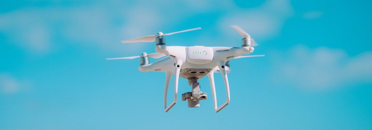
A drone is an aircraft without a human pilot on board. They are operated by a ground-based controller and a system of communications between the two.
What does the City use the drone for?
The City of Woodburn deploys the drone for a variety of purposes to include: the filming of aerial imagery (both still photos and video) for promotional/informational materials, Economic Development, Public Works, Recreation and Parks activities and more.
Operator Registration
Any use of a drone by the City of Woodburn will done in compliance with the following Federal Aviation Administration (FAA) Small Unmanned Aircraft Regulations (Part 107) requirements. Anyone operating the controls of a sUAS under Part 107 will need a remote pilot certificate with a sUAS rating, or be under the direct supervision of a person who holds such a certificate.
Operating Requirements Per the FAA:
- When manipulating the controls of a drone, operator must always avoid manned aircraft and never operate in a careless or reckless manner.
- Operator must keep sUAS within sight. If operator is using a form of First Person View or similar technology, the operator (even if being assisted by a visual observer) must maintain a constant visual of the aircraft within unaided sight.
- Neither the operator nor a visual observer can be responsible for more than one unmanned aircraft operation at a time.
- In accordance with Part 107, sUAS operations may only be operated during daylight hours.
- The FAA defines daylight hours as morning civil twilight (30 minutes before official sunrise) to evening civil twilight (30 minutes after official sunset). Any time before or after this is considered outside of daylight hours.
- When operating during "civil" hours, the sUAS must be equipped with anti-collision lighting with a visibility range of 3 statute miles.
- sUAS operation is limited to a maximum of 400 feet above ground level. The only exception to this is if flying next to a building or structure. The sUAS may then be flown within a 400 ft. radius of the structure. (Let's say the City Water tower was 500 feet tall. The sUAS would be allowed to fly 400 feet above it, thus flying at a total height of 900 feet.)
- Maximum travel speed is 100 mph (87 knots).
- The sUAS cannot be flown over anyone not directly participating in the operation, not under a covered structure or not inside a covered stationary vehicle. No operations from a moving vehicle are allowed unless drone is flying over a sparsely populated area.
- The sUAS may can carry an external load if it is securely attached and does not adversely affect the flight characteristics or controllability of the aircraft.
Your Privacy is Protected
The City must have an authorized purpose when collecting imagery from the use of a drone.
Prior to the authorization of any flight, the City will evaluate potential privacy risks. This includes unintended observation of persons from flying over homes and property, capturing of license plates and other privacy concerns that may be identified. The City will establish steps and procedures to avoid those risks (Choosing alternate flight routes to avoid homes, refraining from recording footage until over the target area, making an effort to keep the camera angled away from potential privacy concerns etc).
In the event Personal Identifying Information is incidentally collected, the City will make every effort to remove said information from all raw data footage.
Access to raw drone footage will be restricted to authorized staff. Distribution of raw drone data is restricted to authorized staff for the sole purpose of specific Department needs only. The City will not disclose raw, unprocessed drone-collected data to the public except for reasons as required by law. For those purposes, raw footage shall be requested via The City's Public Records Request Form.